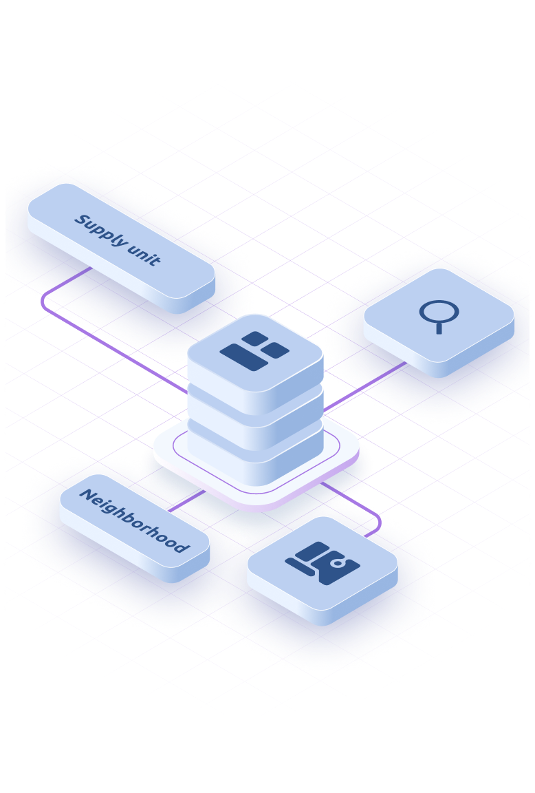
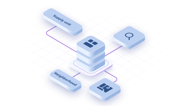
Explore and Select
Browse our database and choose the information you need. View available categories and their geographic coverage.
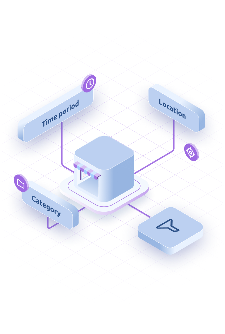
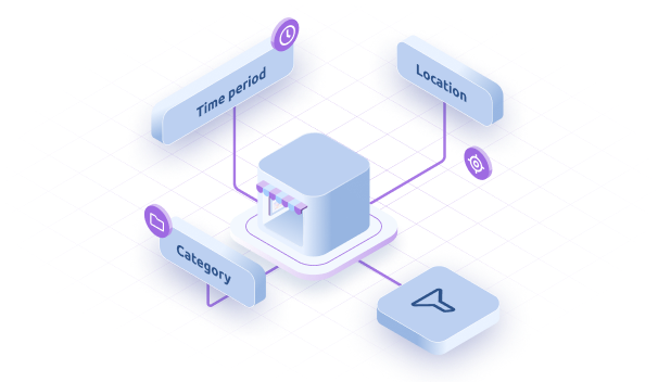
Filter the Data
Refine your search with advanced filters:
Location: select specific regions or areas
Time period: choose relevant dates
Category: filter by population, mobility, infrastructure, and more
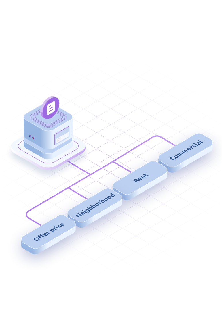
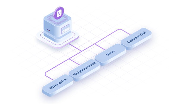
Review the Summary
Check the details of your selection in the shopping cart, where you’ll see the chosen information and the total cost.
Download the Data
After confirming your purchase, access your download in formats compatible with GIS, Excel, and databases.
Explore and Select
Browse our database and choose the information you need. View available categories and their geographic coverage.
Filter the Data
Refine your search with advanced filters:
Location: select specific regions or areas
Time period: choose relevant dates
Category: filter by population, mobility, infrastructure, and more
Review the Summary
Check the details of your selection in the shopping cart, where you’ll see the chosen information and the total cost.
Download the Data
After confirming your purchase, access your download in formats compatible with GIS, Excel, and databases.