
Downloadable and accurate real estate data
Filter, explore and download aggregated real estate data by district or municipality from 2018 to today.
Access reliable information on prices, variations and real estate statistics ready for analysis in CSV or Excel.
Access reliable information on prices, variations and real estate statistics ready for analysis in CSV or Excel.


Need reliable and updated real estate datasets?
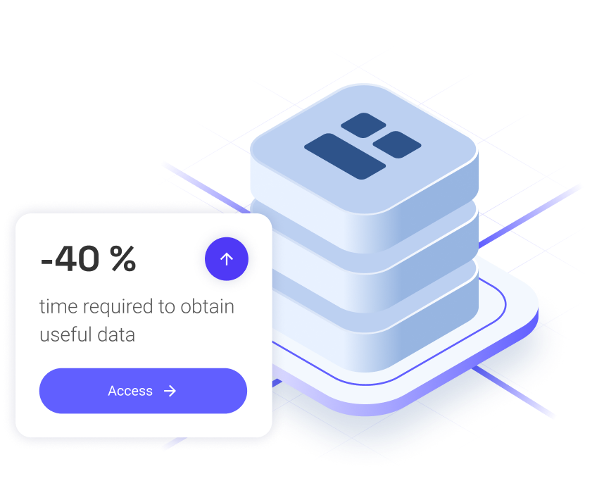
Many analysts and consultants waste time searching through scattered public sources or closed reports that are hard to customize.
With Cassandra Data & Reports, you can select specific areas, time periods and download only the data you truly need.
With Cassandra Data & Reports, you can select specific areas, time periods and download only the data you truly need.
Access aggregated real estate data in seconds
Our platform allows you to filter by area, administrative level (municipality, district, neighborhood) and time period (quarterly) to download up-to-date real estate information — no technical setup required.

Advantages of using Cassandra Data & Reports
Cassandra AI simplifies how professionals query and download real estate statistics, providing structured, updated and analysis-ready datasets.

Accurate geospatial filtering
Select specific areas — municipality, district, neighborhood — and download only the relevant data for your study.

Historical series since 2018
Track price trends, quarterly and yearly variations with full historical context.

Instant download in multiple formats
Export your datasets in CSV or Excel, ready for your favorite analytics tools.

Verified and standardized data
Information sourced from official databases, processed for consistency and statistical quality.

Transparent and fair pricing
See the exact cost before downloading, with no hidden fees or unnecessary subscriptions.

No technical knowledge required
An intuitive and visual interface that lets you access complex data in minutes.
Companies that trust our data
Consulting firms, developers, urban planners and analysts across Spain already use Cassandra Data & Reports to access reliable and updated real estate market information.


Download your real estate data in 4 steps
In just a few minutes, get datasets ready to use with your preferred analysis tools.
01
Explore available categories
Choose between sale prices, rental data, quarterly or annual variations, or price per m².
02
Filter by location and period
Select the province, then choose the administrative level — municipality, district or neighborhood — and define monthly or quarterly data.
03
Review summary and cost
Get a preview with volume, coverage and estimated price before confirming your download.
04
Download and analyze
Receive your data in CSV or Excel format and start analyzing immediately.
Why choose Cassandra Data & Reports
Our platform replaces static reports with updatable, filterable and fully downloadable real estate datasets.
- Standardized real estate data: consolidated, comparable information across the entire territory.
- Complete historical series: from 2018 to the present.
- Smart filters: select precise areas and administrative levels.
- Instant download: get your datasets in seconds, without intermediaries.
Turn data into real estate insight
Download structured, precise and updated information for your market analysis.
Start working with Cassandra Data & Reports and save hours of manual data collection.
Start working with Cassandra Data & Reports and save hours of manual data collection.

Alfonso I Street, 17, 2nd Floor. 50003, Zaragoza (Spain)
María de Molina Street, 39, 2nd Floor, Chamartín, 28006 Madrid, Spain
Contact
Call us: +34 628 986 787
Email: info@cassandra-ai.com
Copyright © 2026 Cassandra AI